01
Secure Data Intake
Acquisition partners and authorized customers upload source data through controlled transfer methods such as SFTP.
Precog Geospatial provides hosted infrastructure for processing, managing, reviewing, and delivering large imagery and elevation datasets.
Our environment combines scalable processing resources, high-capacity storage, workflow automation, geospatial software, controlled data transfer, and customer-accessible review tools.
The hosting environment supports the complete geospatial production lifecycle, from source-data intake through automated processing, QA/QC, customer review, acceptance, and final delivery. Resources are planned around each project's data volume, geographic extent, processing complexity, delivery schedule, security requirements, quality thresholds, and acceptance criteria.
Precog Geospatial uses a structured workflow to protect data integrity and maintain visibility throughout production.
Acquisition partners and authorized customers upload source data through controlled transfer methods such as SFTP.
Source data is ingested into the processing environment, where configured workflows perform the required geospatial processing.
Processed imagery and supporting deliverables are staged in a separate delivery environment for automated and human QA/QC.
Authorized customers can inspect deliverables, metadata, and quality records before accepting or transferring very large datasets.
Accepted data can be delivered according to project requirements through electronic transfer, SFTP, physical media, hosted access, or other approved methods.
Precog Geospatial's Geospatial Ortho Automation Tool Set (GOATS) provides a common operational layer for managing data-intensive geospatial production.
GOATS supports task definition, workflow execution, production monitoring, workload coordination, exception handling, quality control, and repeatable delivery processes.
Rather than treating processing, quality control, project status, and delivery as isolated activities, GOATS brings them together within a controlled production workflow.
Review large geospatial deliverables before committing resources to final transfer.
Moving very large geospatial datasets into customer-managed infrastructure can consume substantial time and resources. Precog Geospatial addresses this challenge by providing a hosted sandbox where authorized customer personnel can review data, deliverables, metadata, and quality-control reports before final acceptance and transfer.
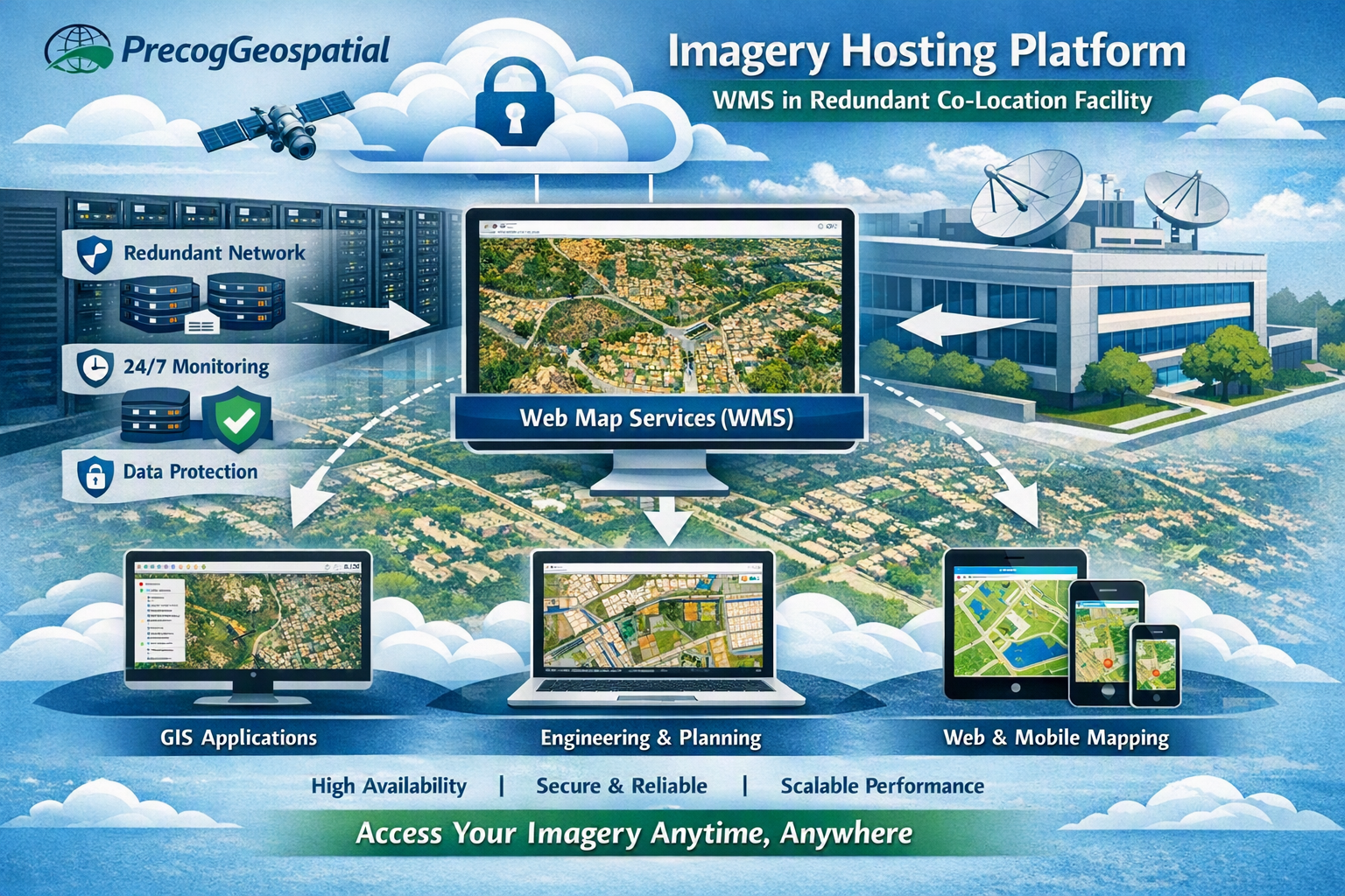
Accepted datasets may remain available through secure, standards-based geospatial web services powered by GeoServer.
Depending on project requirements, authorized users may visualize, query, and consume hosted geospatial information through Open Geospatial Consortium services.
Web Map Service
Web Map Tile Service
Web Feature Service
Web Coverage Service
These interoperable services can support integration with GIS applications, web-mapping environments, and enterprise geospatial systems without requiring an immediate bulk transfer of the complete dataset.
Precog Geospatial's documented workflow separates source data from processed delivery data. Raw source data is maintained in a designated storage pool, while processed products are staged in a separate delivery pool for validation and customer review.
Project-specific requirements govern authorization, transmission, storage, backup, retention, return, and disposition.
Before release, Precog verifies deliverable completeness, internal consistency, file format, coordinate-reference information, metadata, and transfer integrity.
Security requirements are established against the needs and contractual requirements of each individual project.
Precog Geospatial applies the access, storage, transmission, retention, incident-reporting, and data-disposition requirements defined for each engagement. Government-furnished, controlled, or otherwise restricted information is identified before processing begins.
When a project requires a particular authorization or security-control framework, Precog addresses that requirement through documented existing capability, an approved service environment, a qualified partner, or another contractually acceptable method.
The applicable controls and hosting architecture are established against the actual contractual requirements of each project.
Precog evaluates each project before establishing the hosting and processing configuration.
Capacity can be scaled through modular workflows, additional compute and storage resources, workload planning, and qualified personnel.
Precog remains accountable for contract performance and deliverable acceptance when external hosting, software, data, or specialist resources are incorporated into the solution.
Precog's hosted environment is designed to support data-intensive Earth observation and remote-sensing work.
The specific architecture, security controls, service levels, retention rules, and delivery methods are defined for each project.
Every geospatial program has different requirements for data volume, processing, security, review, retention, and delivery.
Precog Geospatial can configure a project-specific environment that supports controlled data intake, automated processing, documented QA/QC, customer review, and standards-based delivery.
Tell us about your source data, geographic coverage, required products, delivery schedule, security conditions, and acceptance requirements.